Burton Green Neighbourhood Plan - Regulation 16 Submission
Appendix 3 - Values Vistas and Landscapes
This appendix contains photographs of Policy EL4 - Valued Landscapes visible from the 5 viewpoints identified in the policy. The table at 6.5.6 in the NDP gives the viewpoint, and describes the view
The following photographs of the views were taken on 9th October 2019 and are located on the map below:

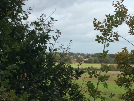
View V1: Greenway looking south-west
Across agricultural land to Red Lane Houses and beyond. This is an open view providing a fine overview of the character of the arable agricultural land within the rising Warwickshire countryside towards the horizon. It also includes a view of the Keep of Kenilworth Castle
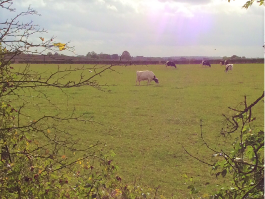
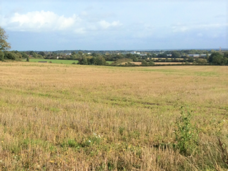
34 - V1a: Across grazing meadow to Kenilworth Castle on horizon
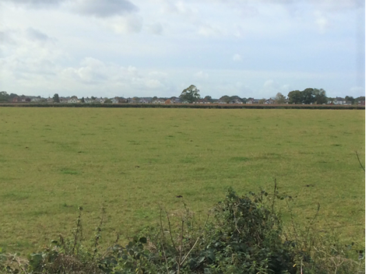
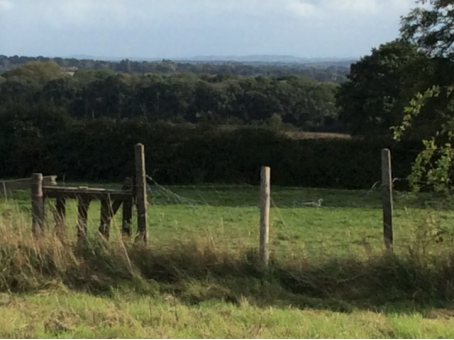
35 - V1b: Across meadow from The Greenway to Red Lane houses

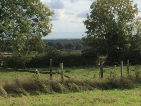
36 - V1c: From The Greenway towards Hollis Lane and Crackley Woods
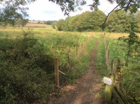
View V2: Greenway looking north-east
Currently this view includes ancient woodland and agricultural land towards Westwood Heath Road and the edge of Coventry. The view will be significantly affected by the HS2 line.
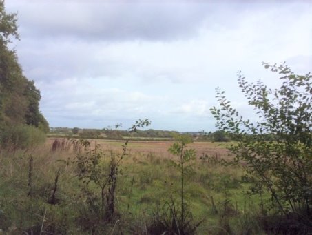
37 - V2a: Across the fields to Westwood Heath Road
38- V2b: Across the fields to Westwood Heath Road
39 - V2c: Across the fields one can see the 3 Spires of Coventry
40 - V2d: From The Greenway towards Broadwells Wood across HS2 plantation
View V3: Bockendon Road towards Cromwell Lane
This view is across agricultural land and woodland towards Cromwell Lane and the Water Tower
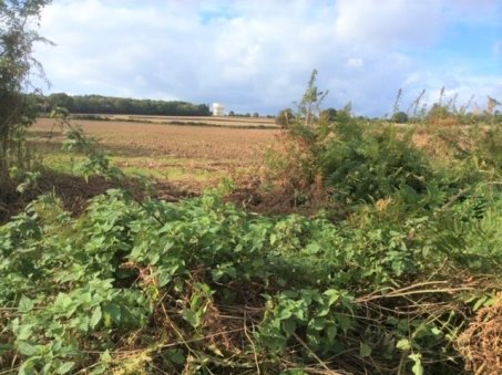
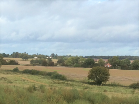
41 - V3a: View from Bockendon Road
View V4: Red Lane to the West
This view is across undulating agricultural land and woodland extending into open Warwickshire countryside
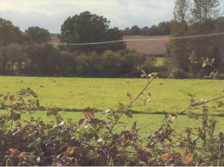
42 - V4a: From Red Lane footpath
View V5: From footpath W168 looking south
This view benefits from the elevation of the plateau of the village along Cromwell Lane. It is the most extensive view to the east over Coventry and the 3 spires, to the west over Kenilworth and the Warwickshire countryside and to the south with Edge Hill and Burton Dasset on the horizon.
43 - V5a: Across fields towards The University of Warwick
44 - V5b: Across fields and woodland to Burton Dasset on horizon
45 - V5c: Across fields and woodland to Edge Hill on horizon